Pedal the granite roads of southeastern Zimbabwe. Plan your route from Chipinge to the peaks of Chimanimani with verified transit and terrain details.
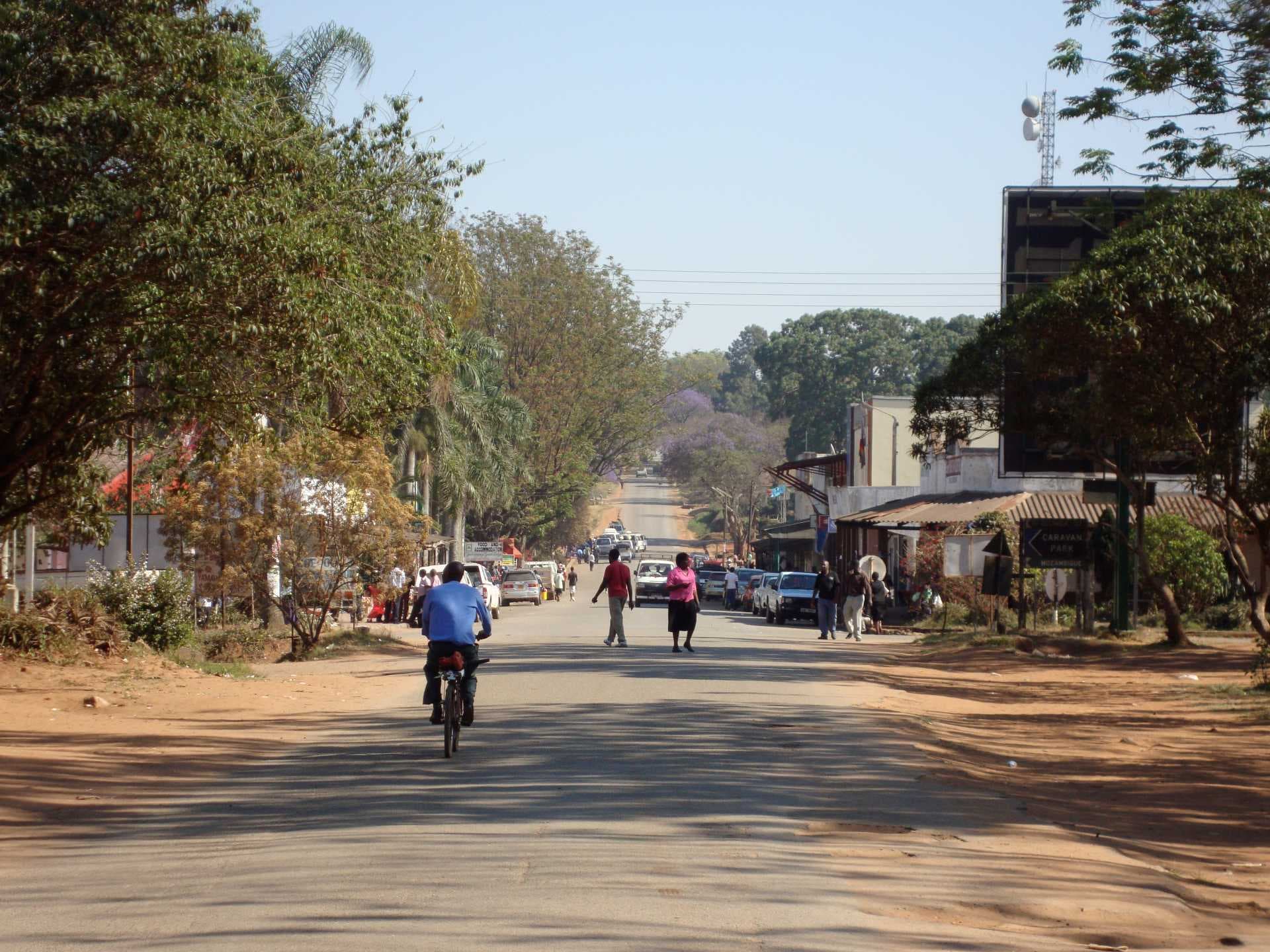
The asphalt ends where the gravel begins. In Chipinge, a town in Manicaland Province near the Mozambique border, that transition is the rule. You do not cycle here to escape traffic; you cycle to test your own endurance against a landscape that does not care if you pass. The town itself is small, walkable, and served by shared taxis known as commuter omnibuses. But the road out toward the Eastern Highlands tells a different story. It is a convergence point where the flatlands surrender to the granite peaks of Chimanimani National Park.
The Terrain of Inevitability
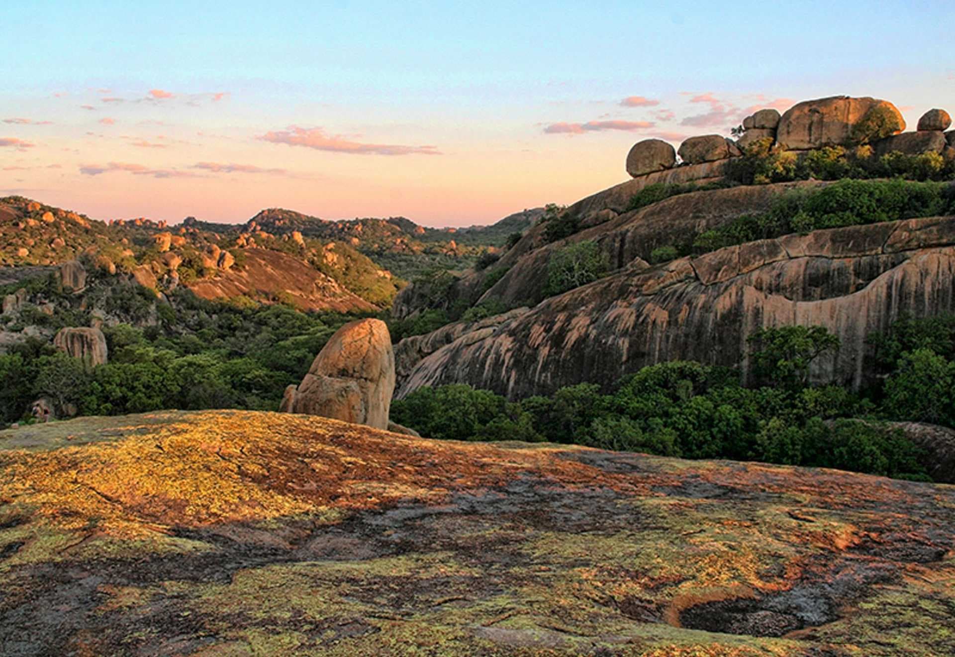
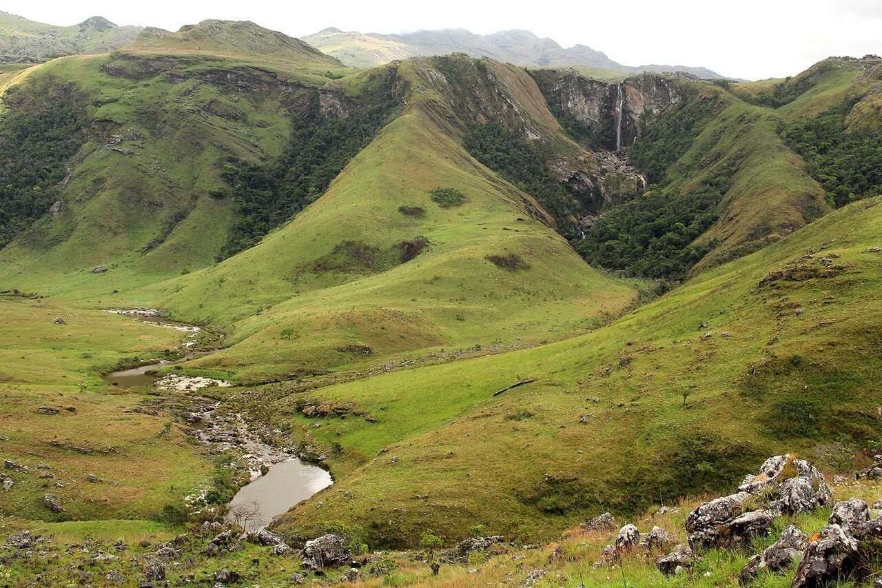
Chimanimani National Park is not a destination you visit lightly. Proclaimed in 2003, it covers 634 km² of rugged terrain, defined by gorges and granite summits. The reserve is an hour’s jeep-ride from the local villages, but for a cyclist, the approach is a negotiation with gravity. The landscape is characterized by mountains and waterfalls, a diverse ecosystem that rewards those who move slowly enough to see it.
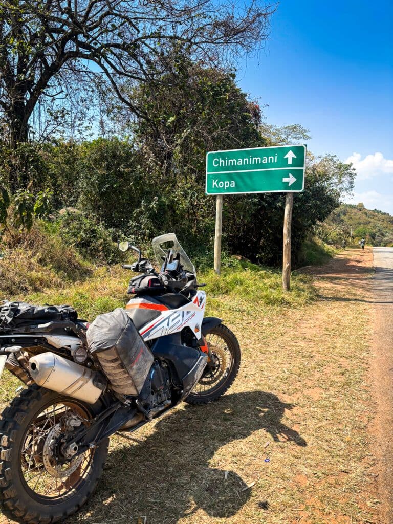
The road is unpaved. It tests your mechanical reliability and human patience. You will feel the vibration of the terrain in your handlebars. The air is thinner here, the light harder. This route demands a physical argument with the earth. If you are cycling, you are entering a space where the distance between you and the next settlement is measured in hours, not minutes. The silence is absolute, broken only by the sound of your tires on loose stone and the distant call of wildlife that has never learned to fear the quiet.
Logistics on the Edge
Chipinge is served by local rail, though the specific line and station names remain less documented than the road itself. The town functions as a holding space for travelers moving between the lowlands and the highlands. For the cyclist, the town offers a necessary pause. You can repair a flat tire, refill a water bottle, and assess the road ahead. The local ground transport, including private taxis and commuter omnibuses, provides a backup plan if the bike fails.
The drive to Nyanga National Park is a two-hour journey from Chipinge. This is a critical fact for planning. Nyanga contains Inyangani Peak, the highest point in Zimbabwe. If your cycle tour extends beyond the immediate vicinity of Chipinge, you must account for this distance. The road to Nyanga is a different beast from the track to Chimanimani. It is more established, but still demanding. You are not in a city. You are in a district where the infrastructure serves the land, not the other way around.
The Weight of the Road
There is no confirmed local food scene in the sources for Chipinge, which means you must carry your own sustenance. This is a detail that matters. In a region where the nearest reliable supply point may be the town center, you do not rely on roadside stalls. You pack. You calculate. The town is close to the Mozambique border, which adds a layer of complexity to logistics. Currency exchange and border crossings are not trivial matters. You must be prepared for the possibility that the road does not lead where you think it does.
The town is relatively small, which means you will see the same faces, the same buildings, the same quiet streets. This repetition creates a rhythm. It allows you to focus on the road ahead. The landscape offers no shelter, no food, only a view. In Chipinge, the view is the only luxury. You earn it by riding. The infrastructure is sparse, but it is sufficient for those who understand the weight of the distance.
Timing the Inevitable
The best time to go is when the rains have stopped. The dry season is your window. The roads are passable. The visibility is clear. If you travel during the wet months, the gravel becomes mud, and the mud becomes a trap. The next major holiday in the region is Unity Day on December 22, 2026. This is followed by Christmas and New Year. These dates will bring a surge in traffic and a rise in prices. If you are cycling, you want to avoid the crowds. You want the road to yourself.
The Robert Gabriel Mugabe National Youth Day in February 2027 is another marker. It is a time of national significance. For the traveler, it is a time to be aware of local sentiment and potential disruptions. The season is autumn as of this writing. The light is low, the air is cool. It is a good time to ride. The landscape is not lush, but it is honest. It shows you what it is.
Practical Questions
Is Chipinge safe for solo cyclists? The town is small and relatively quiet. As with any rural area in southeastern Zimbabwe, you must be aware of your surroundings. Keep your valuables secure. The road to Chimanimani is remote. Inform someone of your route. Do not assume that help is close.
What is the best transport to reach Chipinge? You can reach Chipinge by bus or shared taxi from larger hubs like Bulawayo. The journey time is not confirmed in the sources, but it is a significant distance. If you are cycling, you may need to transport your bike. Check with operators in advance.
Do I need a visa to enter Zimbabwe from Chipinge? Chipinge is near the Mozambique border. If you are entering from Mozambique, you will cross an international border. Check the current visa requirements for your nationality before you travel. The border process can be slow. Allow extra time.
The road does not change. It does not get easier. It does not get more forgiving. You ride it as it is. That is the rule.