Pedal the high-altitude roads of Cundinamarca’s Guavio province, where bike routes wind through the only municipality split by the Andes.
Why the Road Is the Attraction
The 107-kilometer stretch from Bogotá to Ubalá serves as a gateway to a different rhythm of life. While the capital hums with traffic and commerce, Ubalá sits quietly in the Provincia del Guavio, a region defined by its rugged terrain and agricultural heritage. For cyclists, this setting offers something rare in the Colombian Andes: a landscape that feels untamed. The town itself is unique within Cundinamarca, being the only municipality physically divided into two parts by the geography of the Eastern Ranges. This split creates natural breaks in the road network, forcing riders to navigate passes and valleys rather than flat, predictable highways.
The appeal here is tactile. You ride through a working landscape where mining history and agriculture shape the daily visual narrative. The roads are paved but secondary, meaning the traffic is lighter and the scenery more intimate. Whether you are a road cyclist looking for altitude training or a gravel enthusiast seeking dirt paths, the infrastructure supports both. The key is understanding that this is a rural destination. There are no dedicated bike lanes in the urban center, but the surrounding topography provides endless loops and climbs that reward careful navigation.
Routes and Terrain
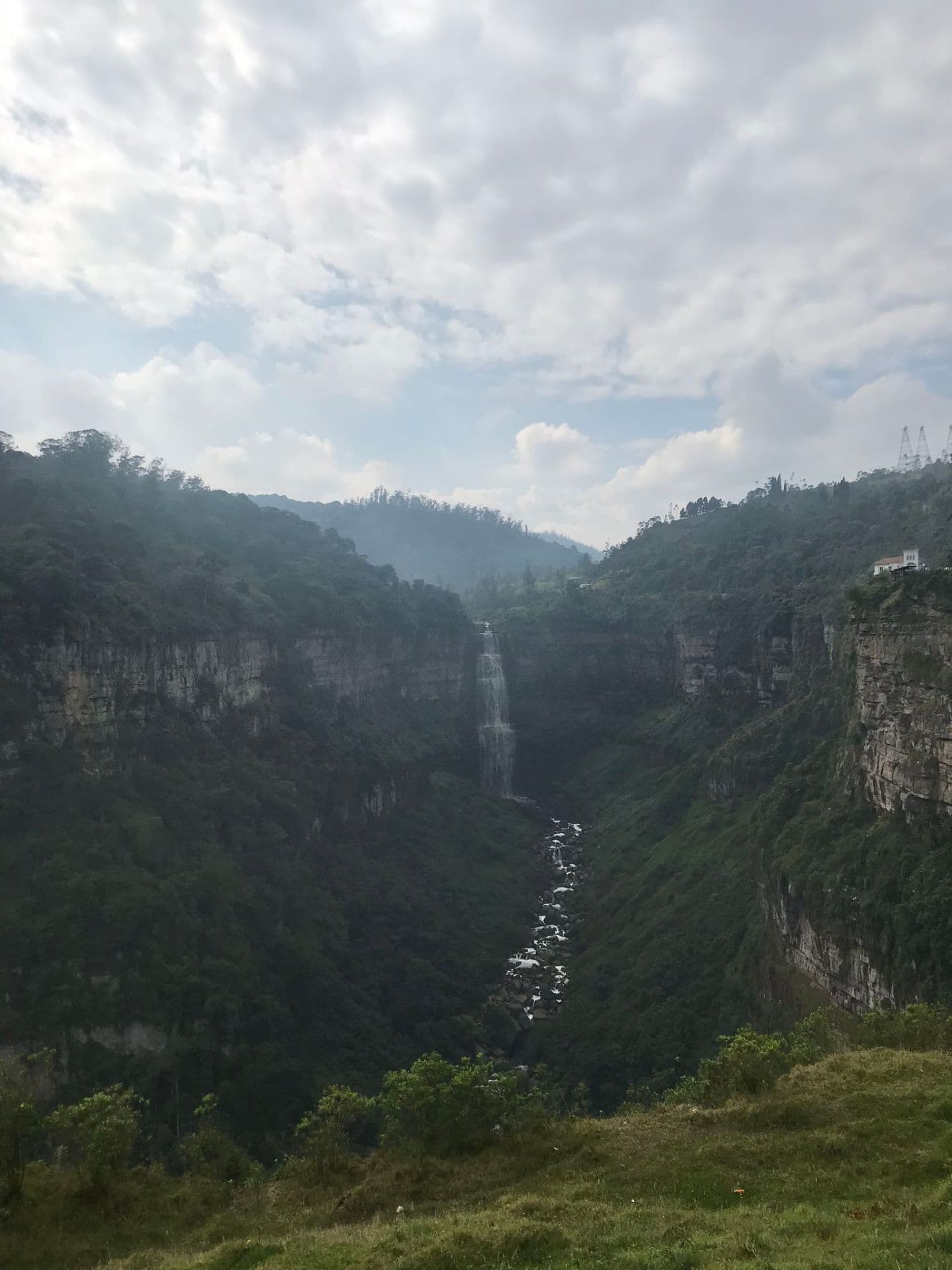
Cyclists visiting Ubalá rely heavily on digital mapping tools to plan their rides, as physical signage for tourist routes is sparse. Two platforms stand out for this specific region. Bikemap hosts a dedicated cycling map for Ubalá that details cycle paths, trails, and points of interest, allowing riders to see exactly where paved roads transition into unpaved tracks. Wikiloc complements this by offering downloadable GPS tracks for road-bike trails in Ubalá, Cundinamarca. These resources are essential because the terrain changes rapidly. One moment you are cruising on a smooth asphalt road, the next you are navigating a narrow lane flanked by steep slopes.
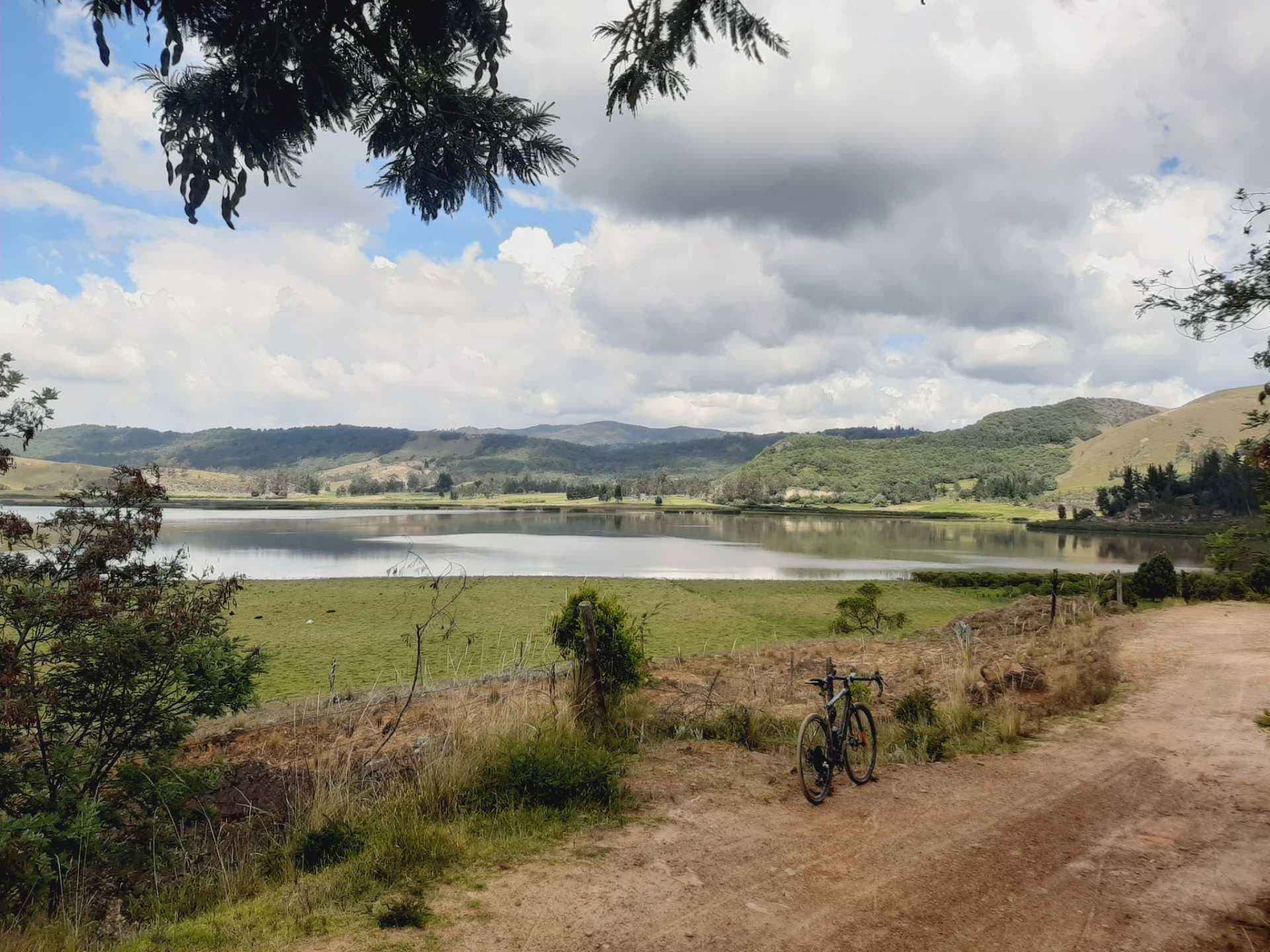
The elevation gain is the defining characteristic of any ride here. Coming from Bogotá, which sits at approximately 2,600 meters, Ubalá offers similar altitudes but with more dramatic vertical shifts due to the mountainous province. Riders should expect consistent gradients. The "road-bike trails" listed on Wikiloc suggest that while the surface may be hard-packed dirt or gravel in places, the geometry is suitable for standard road bikes with wider tires. For those preferring pure tarmac, the main connecting roads from Bogotá provide a reliable base loop. However, the most rewarding experiences often come from venturing off the main artery to explore the smaller roads that connect the two halves of the municipality.
Getting There and Back
Reaching Ubalá requires a commitment to the road, as there is no railway line or station serving the town. The primary method of arrival is by road, with four common options available from Bogotá: bus, private car, taxi, or shared shuttle. For cyclists, the most logical approach is to drive your own vehicle or hire a taxi to the town center, park, and then begin your rides. The distance varies slightly depending on the route taken, with estimates ranging from 107 kilometers to 115 kilometers. This translates to a driving time of roughly two to two-and-a-half hours, depending on traffic out of Bogotá and road conditions.
If you prefer to take public transport, buses run from Bogotá to Ubalá, though schedules can be infrequent compared to major corridors. It is advisable to check with local operators in Bogotá before departure, as services may vary by day of the week. Once in Ubalá, getting around is easy on foot or by bicycle for short distances. For longer excursions beyond the immediate town limits, local taxis are available. Fares are generally negotiable, so it is best to agree on the price before starting the journey. There is no formal cycling rental industry documented in the available data, so bringing your own bike is the safest bet for ensuring you have the right gear for the terrain.
Local Flavor and Culture
While specific restaurant names or signature dishes unique to Ubalá are not widely documented in international tourism databases, the culinary scene reflects broader Colombian Andean traditions. Expect home-cooked meals featuring rice, beans, corn arepas, and locally sourced meats. The agricultural history of the Guavio province means that fresh produce is abundant. You will likely find small, family-run eateries in the town center where meals are served in simple, hearty portions. Prices for a typical lunch in a local comedor might range from 15,000 to 25,000 COP, offering good value for the effort of a long ride.
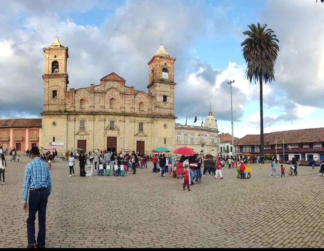
Interaction with locals is generally warm but reserved. The community is small and self-contained. A nod and a greeting in Spanish—hola or buenos días—go a long way. Since the town is split geographically, asking directions can sometimes be confusing for outsiders, as residents may refer to locations relative to their side of the divide. Knowing a few basic phrases in Spanish is both polite and practical for navigating this semi-rural environment. The pace of life is slower than in Bogotá. Shops may close during the midday break (siesta), so plan your errands and refueling stops accordingly.
When to Go and Who It’s For
The best time to visit Ubalá depends on your tolerance for weather variability. As a high-altitude town in the Andes, Ubalá experiences cool temperatures year-round, with frequent rain showers, particularly during the wetter seasons. Spring and early autumn (April to May, October to November) often offer a balance between manageable rain and lush greenery. Summer months (December to February) can be cooler and cloudier, while the drier spells in June to August might offer clearer views but also more intense sun exposure at altitude.
Upcoming holidays can affect accommodation availability. Columbus Day on October 12, 2026, is a national holiday in Colombia and may lead to increased domestic travel, potentially making lodging in nearby towns more competitive. All Saints’ Day in November and Independence of Cartagena in late November are also observed, though their direct impact on Ubalá is likely minimal unless you are staying in larger hubs. For solo travelers and slow-travel enthusiasts, Ubalá is ideal for a three-to-five-day stay, allowing enough time to explore the surrounding trails without feeling rushed. Families with young children may find the terrain challenging, but the quiet, safe atmosphere of the town center is welcoming.
Practical FAQs
Do I need a visa to enter Colombia? Citizens from many countries, including the US, Canada, and most of Europe, do not require a visa for stays up to 90 days. Always verify current entry requirements with your local embassy before traveling.
Is it safe to cycle in Ubalá? Ubalá is a small, rural municipality. Standard travel precautions apply. Riding during daylight hours is recommended. The roads are generally safe, but drivers may not be accustomed to cyclists, so wear high-visibility gear and carry a repair kit.
What currency should I bring? The Colombian Peso (COP) is the local currency. Cash is king in small towns like Ubalá. Credit cards may not be accepted in all small eateries or shops. Withdraw cash from ATMs in Bogotá or larger nearby cities before heading to Ubalá.